


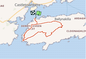

22 km | 32 km-effort

User


FREE GPS app for hiking
 SityTrail
IGN / Geographical institutes
SityTrail World
The world is yours!
Trail Walking of 14.5 km to be discovered at Unknown, County Cork, West Cork. This trail is proposed by Geert H..


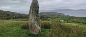
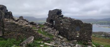
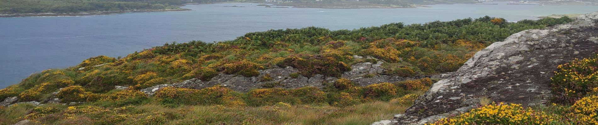
Walking